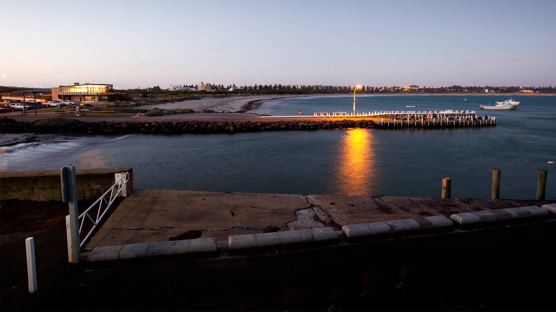
About the port
The Port of Warrnambool is a Victorian Government owned asset managed by Warrnambool City Council.
The major function of the Port of Warrnambool today is to provide safe havens and services to the commercial fishing industry, and recreational fishing and boating interests. The potential of the Port of Warrnambool is however currently limited principally by exposure to wave action that causes hazardous conditions at the boat ramp and forces vessels in the Port, including the Coast Guard and commercial fishing fleet, to remain on swing moorings. Limited drafts due to ongoing sedimentation of the Port also currently limit the ability to launch and retrieve vessels from the boat ramp and limit functional access to the landings on the breakwater.
The establishment and maintenance of a working Port at Warrnambool has a long and problematic history due largely to the highly energetic wave climate and accelerated accretion of the foreshore following establishment of the circa 1890’s offshore breakwater and connecting timber viaduct. The various extensions and modifications to the Port structures over the last approximately 150 years have had a profound impact on Lady Bay, with the shoreline prograding by over 300 metres and sedimentation dramatically reducing depths in the Port and Lady Bay.
The Port of Warrnambool (Lady Bay) is identified as one of only two ‘State Marine Precincts’ west of Melbourne, and is listed under the Victorian Heritage Register (VHR No. H2124).
- Warrnambool Harbour master plan
- Port of Warrnambool asset management plan
- Port of Warrnambool management agreement
- Port of Warrnambool breakwater assesment
- Port of Warrnambool review of port operations
- Port of Warrnambool Berth permit or mooring licence application/renewal
- Port of Warrnambool safety and environmental management plan
- Pre voyage checklist - domestic vessels
- Stop the spread of marine pests
- Biofouling guidelines
- Biofouling guidance - non trading vessels
- Port Reference group meeting minutes - Sep 7 2021
- Port Reference group meeting minutes - Dec 7 2021
- Port Reference group meeting minutes - May 3 2021
- Hydropraphic survey 2021
History of the port
In the 1880s, the Port of Warrnambool handled more cargo than the Port of Melbourne and was a thriving deep sea port. In 1874, a plan was approved by Government to provide protection to shipping by constructing a breakwater utilising huge concrete blocks weighing 32 tons each.
The blocks were transported to the breakwater site by a specially built railway line, and construction was not completed until 1890.
The Warrnambool Breakwater consists of two parts: the concrete breakwater extending out into the bay, and the timber viaduct which once joined it to the shore, which now runs along the east side of the Merri River and is surrounded by land to the east. The breakwater is 30ft wide with a 15ft wide parapet with a walkway along the top.
The viaduct was originally a raised timber structure, but is now filled in below and to the sides with bluestone rubble, and there is an asphalt roadway, known as Viaduct Road, laid along the top.
The area to the east of the viaduct which was once part of the harbour is now land, and a car park has been constructed along the new shoreline. The breakwater railway was removed in 1962, though some remnants of rail remain.
Today the breakwater is a great place to take the kids fishing, offering a sheltered place to relax. Fishing can be done on the bay side with smaller rods or over the breakwater facing the ocean with surf rods chasing the bigger fish.
Report an issue
To report issues at the Port requiring maintenance or repair please call Council's customer service team on 5559 4800.
Alternatively, people can submit requests online through the Customer Request system.
