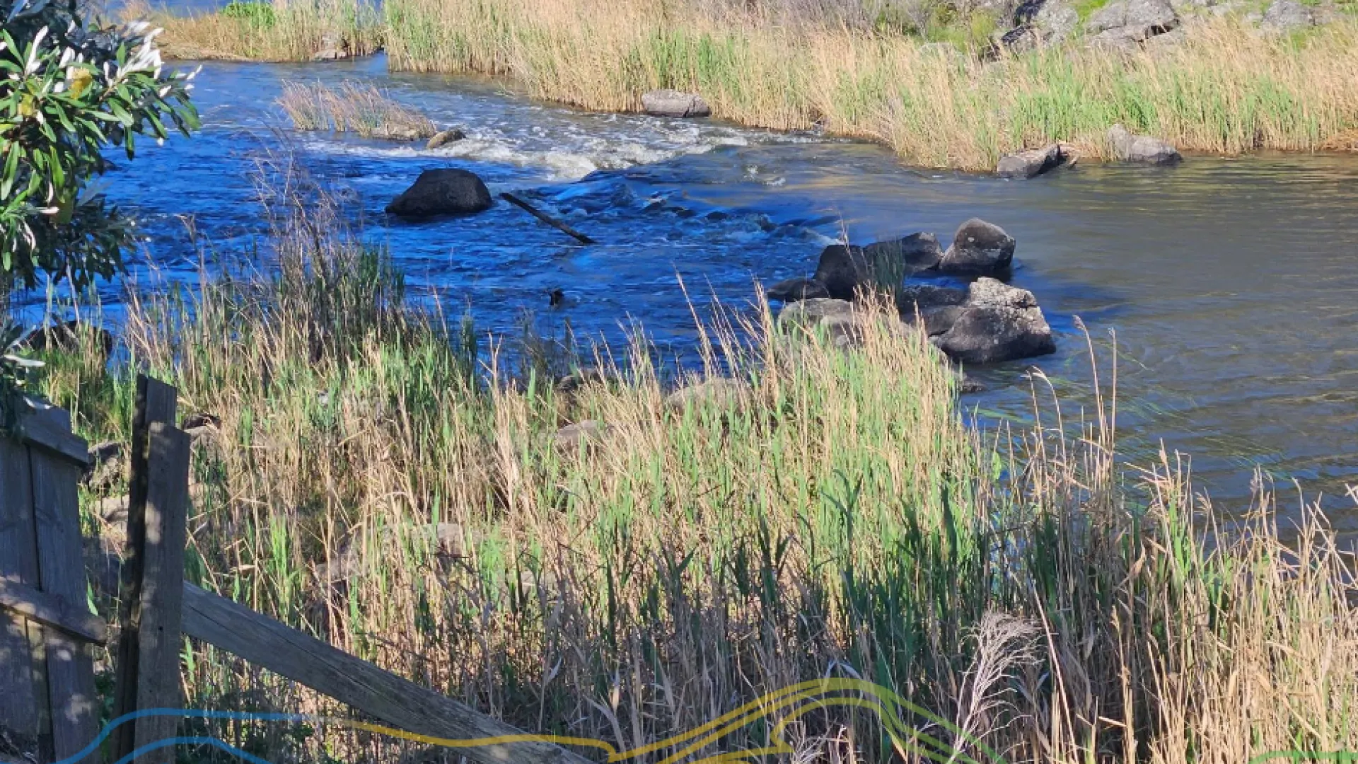
Council is undertaking flood modelling of the Hopkins River catchment at Allansford.
The investigation will look at risks posed by large riverine floods and changes brought about by climate change.
New information about climate change-induced extreme weather will enable more effective planning for Allansford.
Ultimately, the investigation will result in a Planning Scheme amendment that will include revised flood mapping and land use controls.
The investigation will also inform emergency response planning and build community flood resilience.
This project is a partnership with the Glenelg-Hopkins Catchment Management Authority with technical work carried out by Water Technology.
The community has contributed to the project by providing historical flood information that has helped calibrate modelling for the flood investigation.
A review of the flood data used to produce the flood model is available here.
The 1% Annual Exceedance Probably (AEP) or 1-in-100 Year Average Recurrence Interval (ARI) flood depth map for Allansford is available here.
A community meeting was held at the Allansford Mechanics Institute Hall on February 13, 5.30pm which discuss the flood depth mapping including:
- a summary of the project so far;
- project components still in progress including the Stormwater Management Strategy;
- the use of planning controls (overlays) to mitigate future flood risk;
- discussion and call for suggestions to mitigate Allansford's flood risk;
- relationship between this study and the Allansford Strategic Framework Plan;
- viewing of the flood mapping outputs from the study so far; and,
- an opportunity to ask questions.
You can watch a vide of the meeting here.
Keen to know more? Please get in touch.
Email: planning@warrnambool.vic.gov.au
Tel: 5559 4800
In person: Civic Centre, 25 Liebig Street, Warrnambool
Post: PO Box 198, Warrnambool 3280
If you have specific questions, concerns or comments please contact Peter Reid on 5559 4800 or preid@warrnambool.vic.gov.au