It was published: 1 year 5 months ago
This is the date and time that this news article was published.
This is the date and time of the event mentioned in this article.
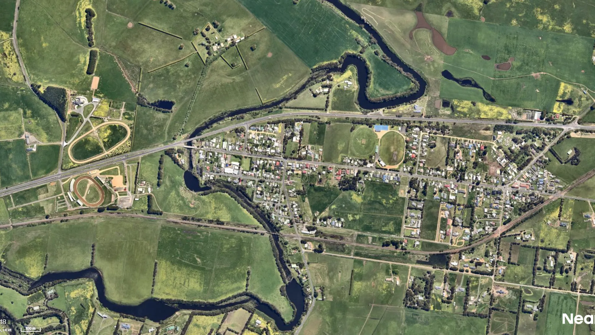
Council is undertaking flood modelling of the Hopkins River catchment at Allansford.
The investigation will look at risks posed by large riverine floods and changes brought about by climate change.
New information about climate change-induced extreme weather will enable more effective planning for Allansford.
Ultimately, the investigation will result in a Planning Scheme amendment that will include revised flood mapping and land use controls.
The investigation will also inform emergency response planning and build community flood resilience.
A community meeting was at the Allansford Mechanics Institute Hall on Thursday, February 13, whiched discuss the flood depth mapping.
You can watch a video of the meeting here.