It was published: 2 years 7 months ago
This is the date and time that this news article was published.
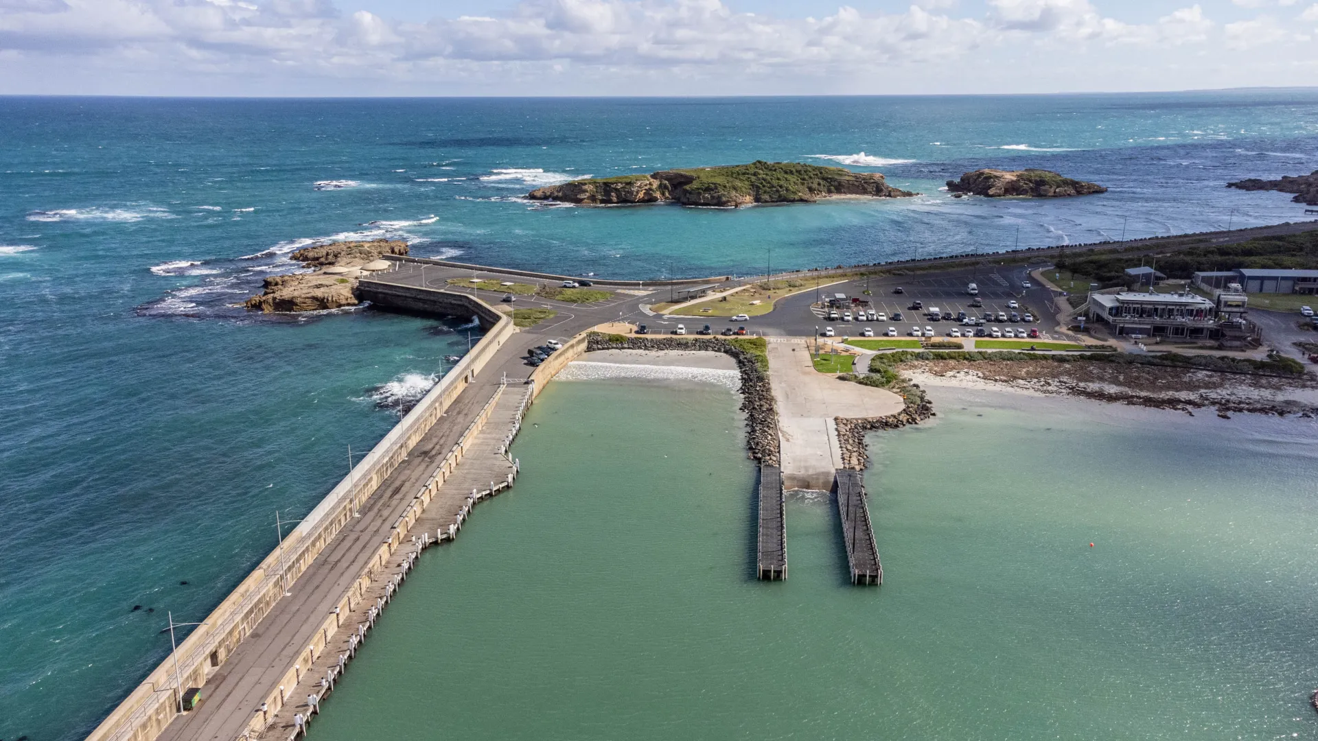
The community is being encouraged to put forward their ideas and thoughts about the Warrnambool foreshore.
Council is developing a “big picture” plan for the foreshore called the Warrnambool Foreshore Framework Plan.
Warrnambool Mayor Cr Ben Blain said the framework plan would consider the community’s views and encompass existing plans, such as the Port of Warrnambool Master Plan, to create an overall vision for the foreshore.
“This is a much-loved feature of Warrnambool that is cherished by local people and visitors to Warrnambool,” Cr Blain said.
“It’s tremendous community asset and an important area economically.
“So we need to make sure it remains the special place that it is and to do that we’re developing a plan for the whole foreshore precinct.”
The foreshore precinct, which is Crown land (owned by the Victorian Government) sits within an area to the south of Pertobe Road between the outlet of the Merri River at Stingray Bay to the west and the Flume access point off Merri Street to the east.
The Framework Plan will consider social, economic and environmental values of the precinct. It will be informed by a multi-stage community and stakeholder consultation, existing conditions analysis, and issues and opportunities assessment. The environmental landscape context will be an important influence on the development of the plan.
People can share their thoughts through an online survey at yoursaywarrnambool.com.au
Alternatively, people can attend a community workshop from 5:30 pm on Thursday, November 30, at the Civic Centre Reception Room 25 Liebig St, Warrnambool, external entry via the Civic Centre courtyard.